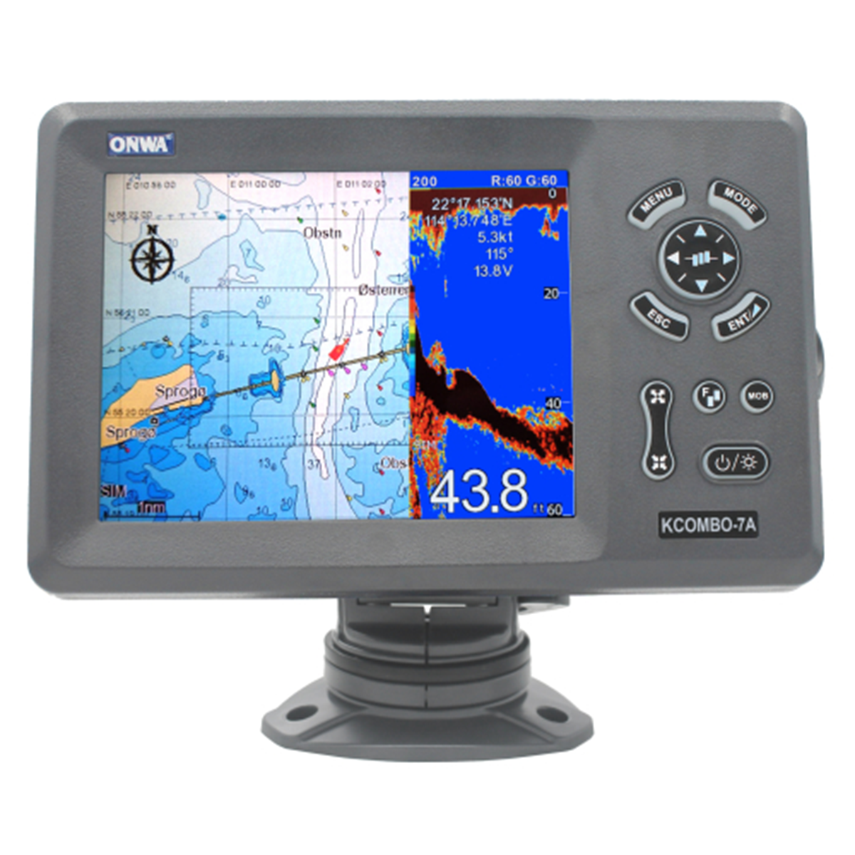
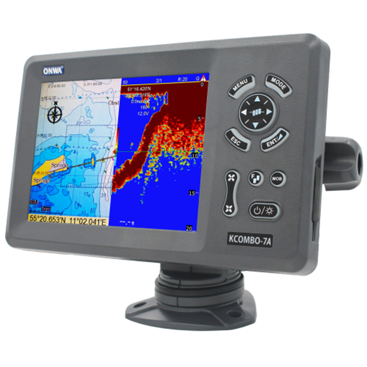
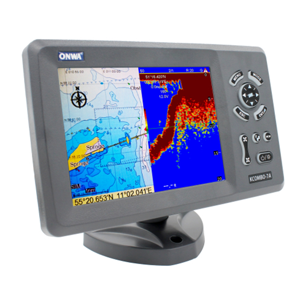
KCombo-7A Chartplotter with AIS Class B and Echo Sounder Function
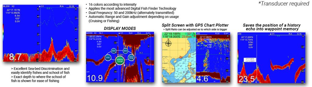
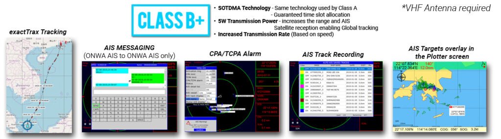
The KCombo-7A chartplotter has a built-in Class B AIS. The Class B AIS system exchanges static and dynamic information between vessels and shore stations using VHF radio waves. The echo sounder function allows you to measure the depth of a water body, view the bottom relief, and locate schools of fish and other objects.
Application areas
- Use on small vessels. The compactness of the chartplotter makes it convenient to use on small watercraft.
Reasons to buy
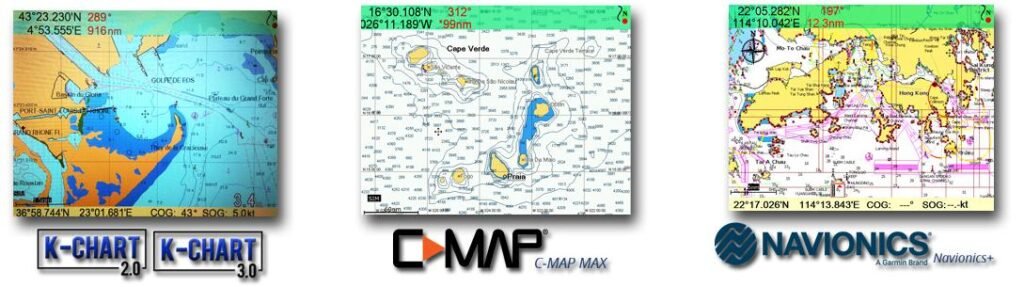
- Supports K-CHART, C-MAP MAX, NAVIONICS.
- AIS class B.
- Water resistance – IP66.
- Built-in echo sounder (requires optional sensor).
- Multi-display support.
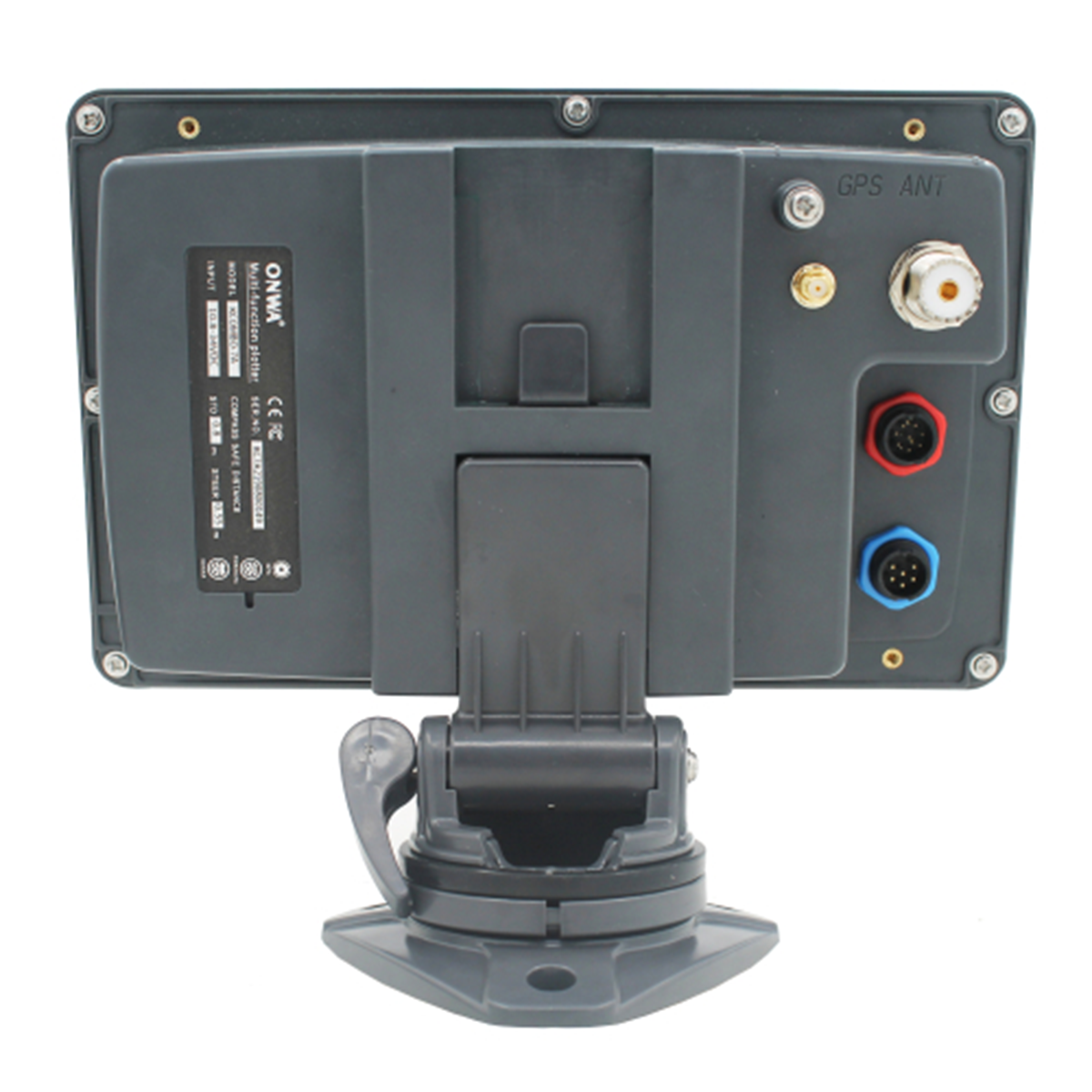
- NMEA0183 support.
- Simple and intuitive control.
- Compactness.
Compatible cards
Built-in echo sounder function
AIS capabilities
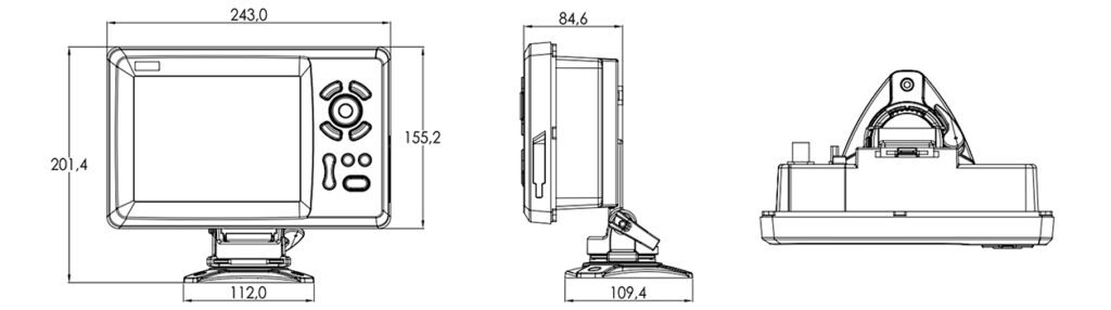
Dimensions