Technical characteristics of KR-708A with built-in AIS-B+ |
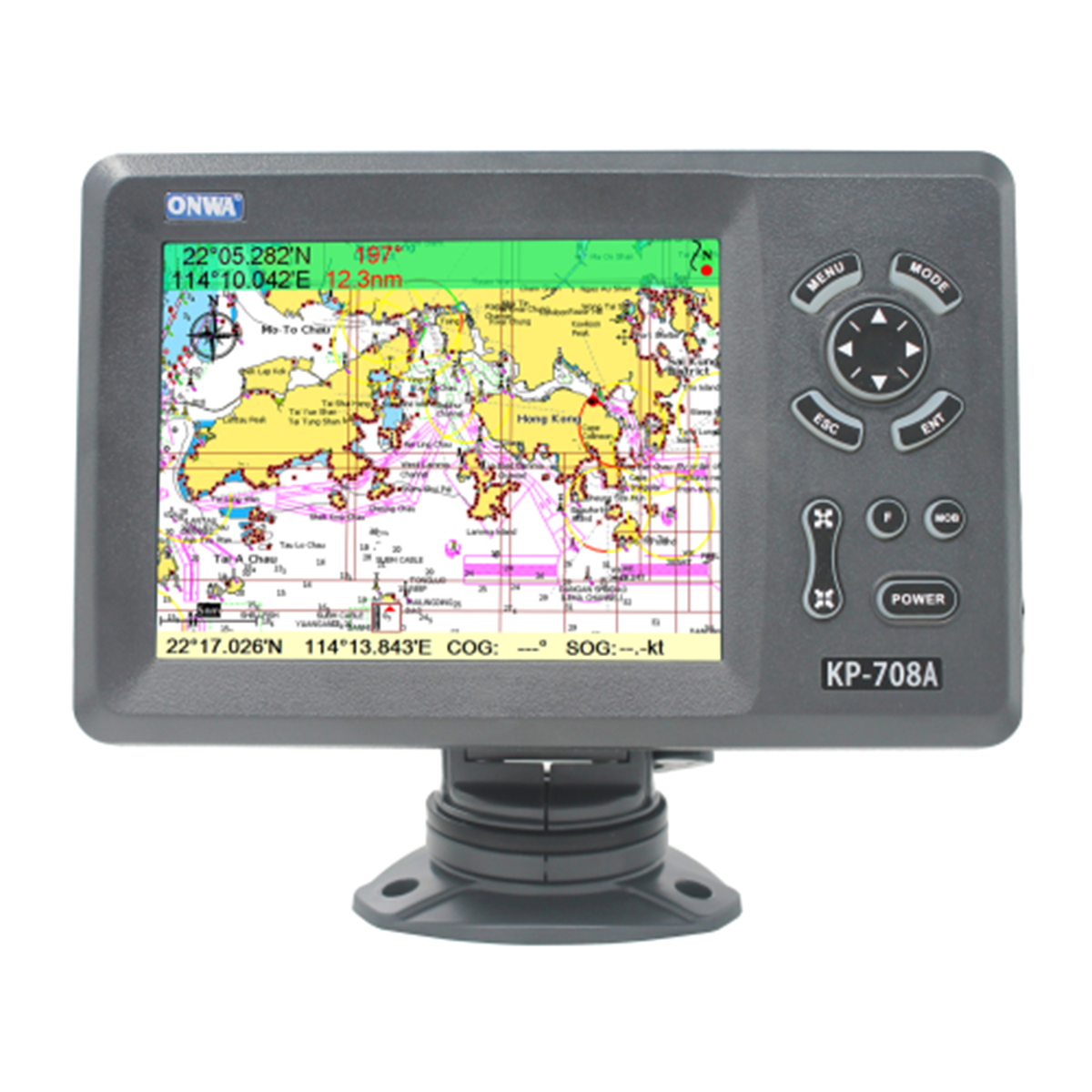
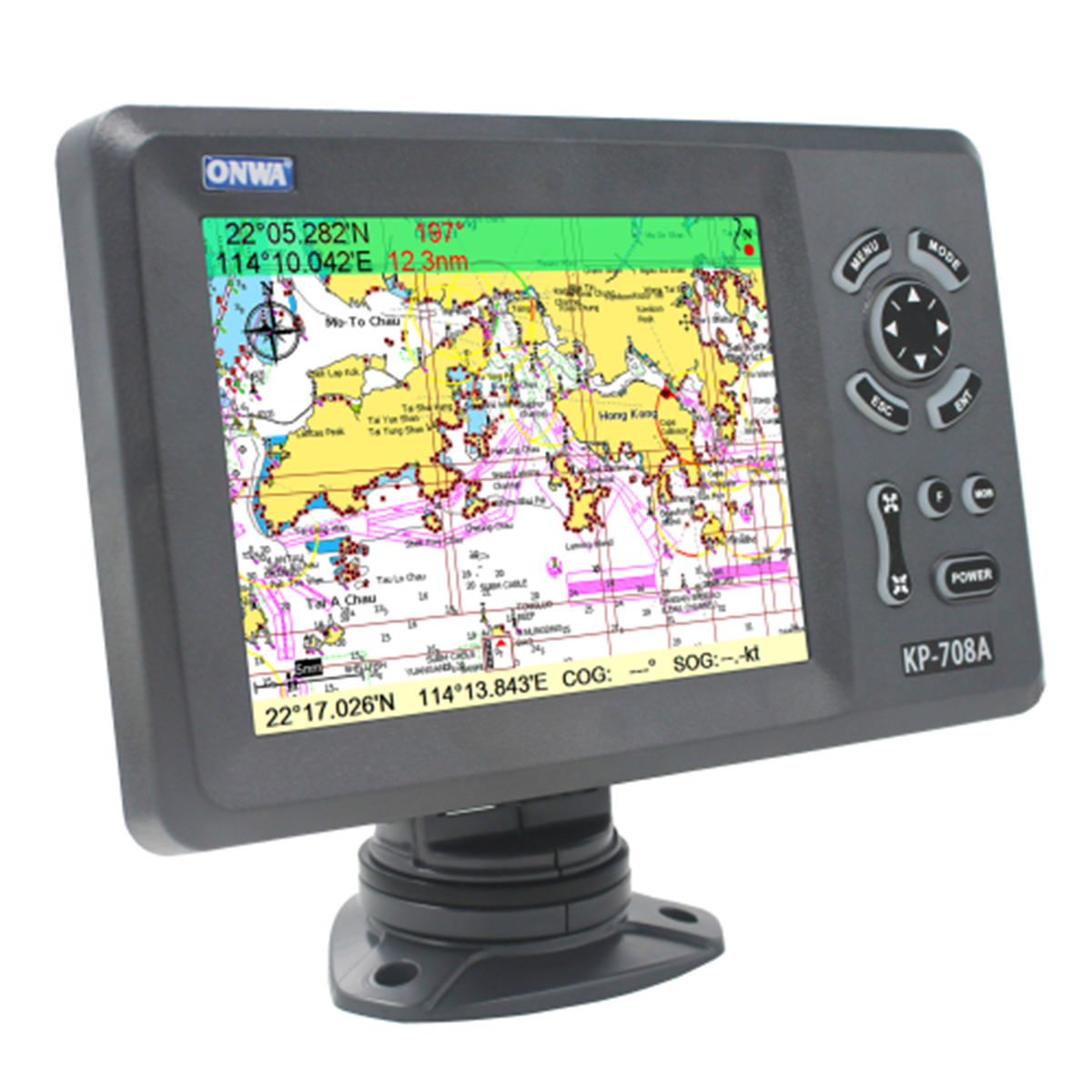
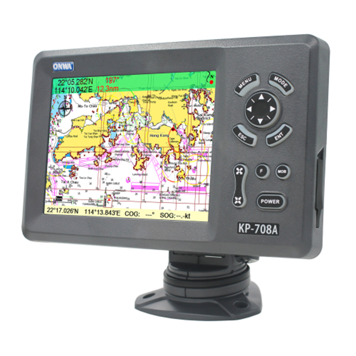
Chartplotter Specifications |
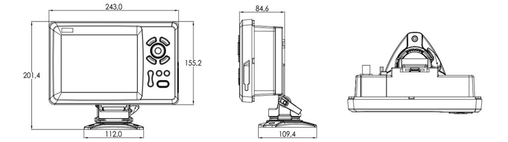
Equipment dimensions | 204.4 x 109.4 |
Waypoints/Marks | 12,000 user waypoints with name, symbol, 3 system waypoints: MOB, Start, Cursor, 10 approach points |
Routes | 30 routes with up to 170 waypoints each, plus MOB and track or jump to track navigation modes |
Tracks | Automatic tracking log 8000 points 10 saved routes (up to 8000 points on each) Allows you to track your route in both directions |
Alarm signals | XTE, Anchor Drift, Arrival, Speed, Voltage, Waypoint Proximity, Timer and AIS Alarms (CPA and TCPA) |
Drawings | 1000 characters to draw; 2000 lines to draw (40 dots each); 1000 place names; 8 colors to draw |
Palette | Normal, Sunlight, Night Mode, NOAA Map Color |
Ebb and flow | Built-in tide data for around the world |
Position format | LAT/LON |
Base map | Worldwide |
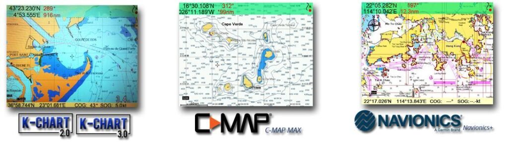
External map | Compatible with K-Chart2.0, K-Chart3.0, C-MAP MAX and Navionics+ |
Storage of user data | Internal backup of user settings or external SD card |
Plotting intervals | from 5 seconds to 60 minutes or from 0.01 to 1 m |
Construction of scales | from 0.001 to 700 nm |
Perspective view | On/Off (C-Mar only) |
Celestial bodies | Sunrise/Sunset/Moonrise/Moonset |
GPS receiver characteristics |
Receiver | With 50 parallel channels, continuously tracks and uses up to 50 satellites to calculate and update your location |
Data collection time | Cold start: 29 seconds Hot start: 1 second |
Refresh rate | 1 sec. or 0.1 sec. (selectable) |
Accuracy | Position: 3m (95%) without S/A |
Speed | 0.1 m/s without S/A |
SBAS | Supports |
Satellite system | GPS, Beidou |
Dynamics | Altitude: 18,000 m Speed: 515 m/s |
System |
Antenna | GPS patch antenna |
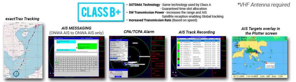
AIS characteristics |
Frequency | 156.025 MHz~162.025 MHz |
Access scheme | SOTDMA |
Channel bandwidth | 25 kHz |
Modulation | GMSK |
Data transfer rate | 9600 bps |
Number of AIS transmitters | 1 |
Number of AIS receivers | 2 |
AIS Channel 1 | CH 87B (161.975 MHz) |
AIS Channel 2 | CH 88B (162.025 MHz) |
Transmitter output power | >5W (37dBm ±1.5dB) |
Receiver sensitivity | <-123 dBm @ 20% |
Receiver message format | AIS Class A and B messages |
Comply with the standard | IEC-62287 IEC 62287-2 Ed. 2.0:2017 |