Chartplotter GPS AIS KCombo-7/ONWA
The KCombo-7 chartplotter is a navigation device equipped with an automatic identification system (AIS) class, echo sounder function, from ONWA Marine. The device displays cartographic data, has a built-in GPS module, a cartographic cartridge, and a computing unit. The chartplotter allows you to track the position of the vessel on the map, save the route traveled and the necessary waypoints.
$286.00
The KCombo-7 chartplotter has 12,000 user points, 3 system waypoints (MOB, start, cursor), 10 approach points. Also, the memory can store 30 routes with up to 170 points each. KCombo-7 can withstand difficult operating conditions, thanks to a high degree of moisture protection.
The chartplotter is protected from strong jets of water and is completely dustproof. The KCombo-7 display operates at temperatures from -15 ℃ to +55 ℃, and the antenna unit from -25 ℃ to +70 ℃.
Application areas
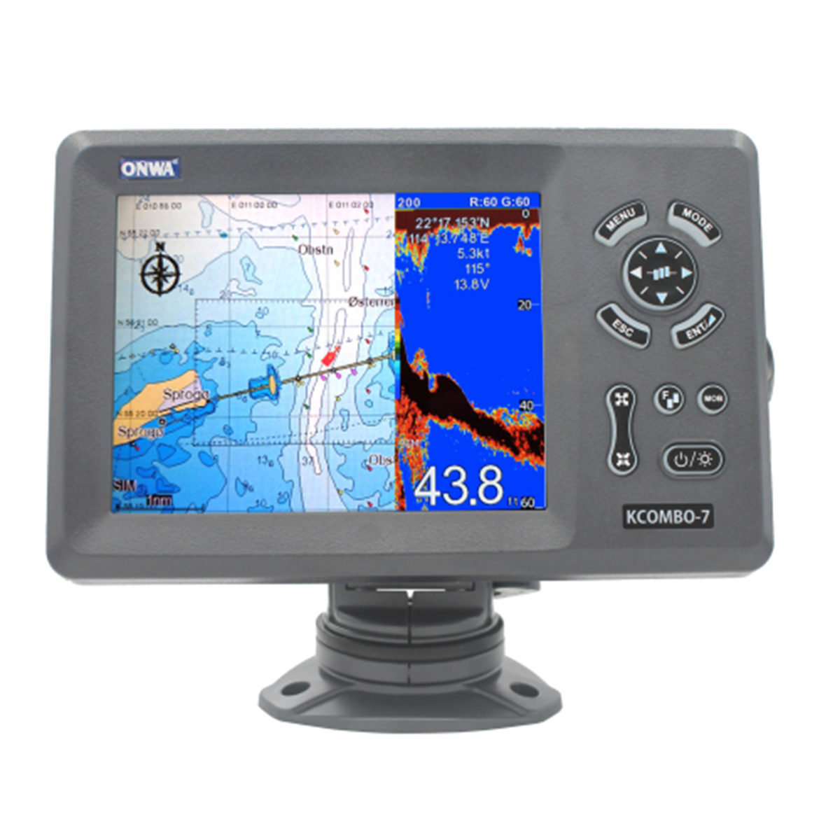
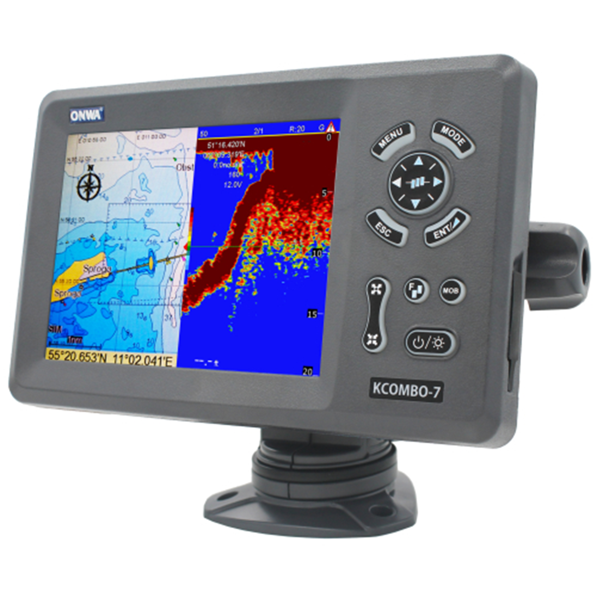
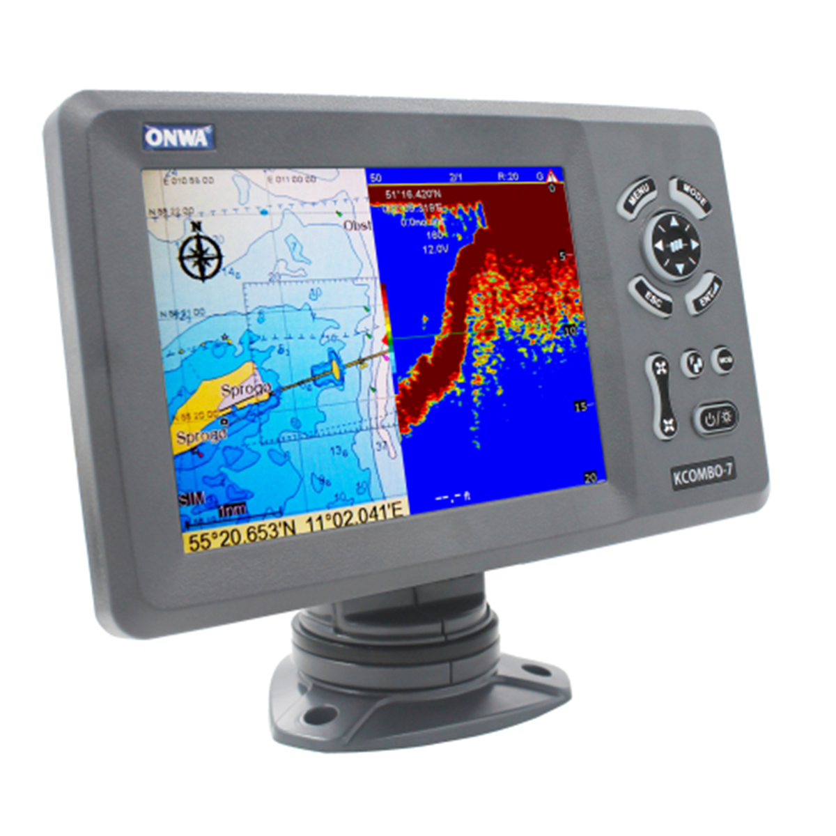
- Navigation. The KCombo-7 chartplotter is used to determine and display the position of a watercraft, routes, obstacles, and other navigation information on the map.
Reasons to buy KCombo-7
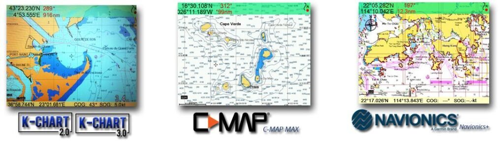
- Support K-CHART and C-MAP MAX, NAVIONICS
- Water resistance – IP66
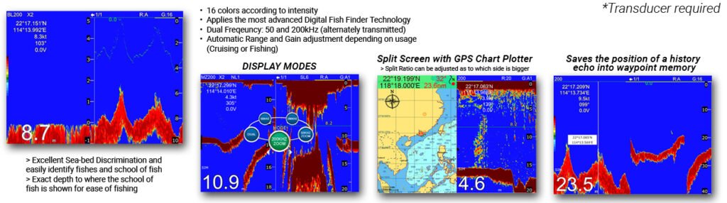
- Built-in echo sounder (requires optional transducer)
- Multi-display support
- NMEA0183 support
- Simple and intuitive control
- Compactness
Compatible cards
Built-in echo sounder function
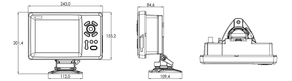
Dimensions
Plotter | |
Overall dimensions: | |
Length, mm | 243 |
Height, mm | 155.2 |
Thickness, mm | 84.6 |
Display | 7-inch color TFT LCD with a resolution of 800×600 pixels |
Waypoints | 12000 user waypoints with name, symbol, 3 system waypoints: MOB, Start, Cursor, 10 nearest waypoints |
Routes | 30 routes up to 170 points each, plus MOB and Track Navigation or GOTO Track modes automatic track log for 8000 points |
Tracks | 10 storable tracks (up to 8000 track points each) |
Warnings | HTE, anchor tension, arrival, speed, network voltage, point proximity, timer and AIS alarm (CPA and TCPA) |
Rendering mode | 1000 applied marks; 2000 applied lines (40 dots each); 1000 drawings with the name of the place |
Display modes | 8 Colors to apply |
Position format | Longitude/Latitude |
Map | General map of the world |
Additional card | Supports K-Chart 2.0, K-Chart 3.0, C-Mar Max and Navionics+ |
GPS receiver | |
Receiver | 50-channel GNSS receiver continuously tracks and uses up to 50 satellites to calculate position |
Launch time | Cold start: 29 seconds Hot start: 1 second |
Accuracy | Position: 3m (95%) without S/A. Speed: 0.1m/sec without S/A. |
SBAS | Yes |
QZSS | Yes |
Satellite system | GPS, Beidou, GLONASS, Galileo |
Echo sounder | |
Base range | 16 colors (including background color) depending on intensity |
Echo sounder output power, W | 600 |
Equipment
- Display unit – 1 pc.
- Quick start guide for the device – 1 pc.
- GPS antenna (4 m cable) (SMA connector) – 1 pc.
- Mounting brackets – 1 set.
- Standard set of accessories – 1.
Optional:
- GPS Antenna KA-07
- Through-hole converter with temperature sensor (bronze) NMM40-50/200T
- Through-hole converter with temperature sensor (plastic) NBM40-50/200T
- Through-body temperature sensor KTS-10K_TH
- Transom Mount Temperature Sensor KTS-10K_TM
- Heading sensor KA-GC9A
- Ultrasonic Weather Sensor/Anemometer KW-360
- KTD-520_TM Transom Mount Sensor with Temperature Sensor
- Echo sounder sensors: NMM40-50/200T, NBM40-50/200T, KTD-520_TM, TMM40-50/200X-T
- KC-2W N2K to NMEA0183 Bidirectional Converter
Related products
-
SPM-P05
$7.50 -
SPM-P02
$3.00 -
SPA-01 VHF Antenna
$21.00


